



Price: $2,090.00
(as of Jul 23, 2026 06:09:11 UTC – Details)
From the brand


New Products-SMA28H & SMA60AR
SMA28H & SMA60AR RTK
SMA25R Net RTK & SMA20 Pro RTK
SMA26 Pro GNSS RTK
SMA26 Plus GNSS RTK
SMA20 GNSS RTK
Tractor GPS
Surveying Tools
Surveying Tools
Welcome to SMAJAYU
At SMAJAYU, we deliver precision GNSS solutions designed to enhance productivity and efficiency across agriculture, surveying, engineering, and various industries. Our core expertise lies in positioning, orientation, and accuracy calculation technologies, empowering users with cutting-edge tools for smarter operations.
Our Mission
We are dedicated to transforming farming practices and improving land surveying experiences through advanced technologies. By leveraging precision agriculture techniques, we help farmers optimize resource allocation, reduce waste, and maximize productivity—contributing to sustainable and responsible agricultural practices.
For surveyors, our RTK, PPK, and PPP technologies ensure unparalleled accuracy and efficiency in topographic, geographic, engineering, mine, and construction surveying, as well as agriculture field and boundary measurements.
Join Us in Shaping the Future
SMAJAYU is at the forefront of innovation, delivering solutions that prioritize efficiency, accuracy, and sustainability. Consult us today to learn more about how our cutting-edge technologies can help you achieve the best possible results.
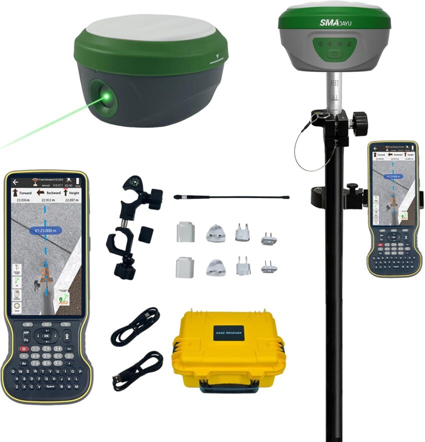
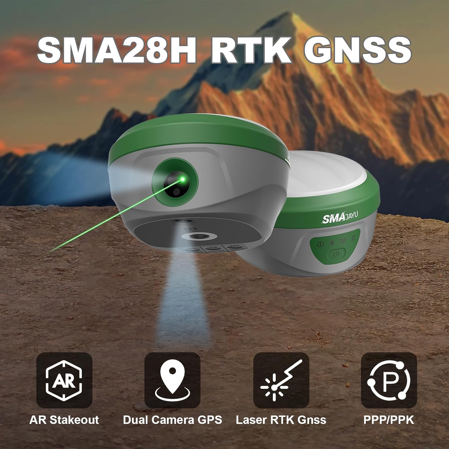
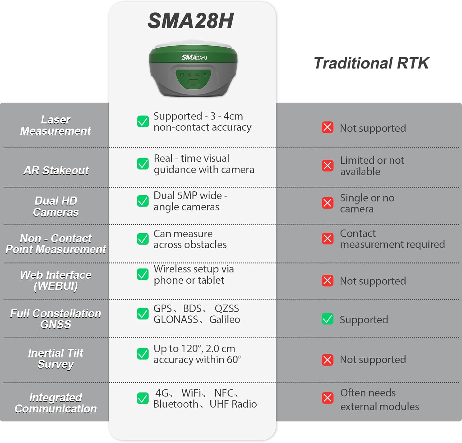
【2cm Accuracy Laser Measurement (Up to 30m)】The SMA28H laser RTK is equipped with a visible green laser, allowing for non-contact point measurements within a 30m range. But the laser accuracy within 15m is 3-4cm.Simply aim and mark – ideal for measuring points that are difficult to reach but visible to the naked eye
【Dual Cameras AR Real Scene Stakeout】The SMA28H laser RTK receiver features dual high-definition cameras that support augmented reality (AR) stakeout, displaying stakeout points directly on the live video feed. This makes on-site stakeout faster and more intuitive, and provides real-time directional guidance
【120° Tilt Survey with High Accuracy】The SMA28H laser RTK surveying equipment features an integrated inertial measurement unit (IMU), providing accuracy of less than 2 cm within a 60° tilt range and supporting measurement angles up to 120°, ensuring efficient and precise operation even in uneven or obstructed environments
【Long-Distance Communication with 15km UHF】The integrated UHF radio communication system of the SMA28H laser RTK GNSS has a working range of up to 15 kilometers in open environments. It is ideal for large construction sites, surveying teams, and field operations
【Multi-Network GNSS Connectivity (PPP/PPK/RTK/CORS)】The SMA28H laser GNSS RTK surveying equipment supports PPP, PPK, RTK, and direct CORS network connections. The receiver has a built-in 4G module, which can be used to directly access the 4G network and log in to CORS by inserting a SIM card, enabling mobile stations/base stations to connect to the network without the need for external equipment
【Durable, Connected, and Powerful】IP67 waterproof, 1.8m drop-tested, integrated 4G LTE, UHF radio, Wi-Fi, Bluetooth, and WEBUI platform. 6600 mAh battery ensures up to 20 hours of rover use;The SMA28H laser RTK has a transmission power of 4mW and a laser class of Class3R